Temperatures around the Houston area the last few days have been almost mild considering normal summer weather thanks mostly to cloud cover and occasional spots of rainfall. Not everyone saw precipitation, but a widespread area saw between 1 and 5 inches of rain over the last seven days according to the National Weather Service.
This week, we should settle into a slightly drier period as high pressure moves back into the area. As a result, temperatures should increase a bit. Additionally, we're going to have another round of Saharan dust to contend with.
Monday through Wednesday will be warm and dry with only a slight chance of a stray afternoon shower. Highs should be in the mid 90s and lows in the upper 80s. A fairly large cloud of Saharan dust that moved in Sunday will stick around until probably Tuesday, so if you have upper respiratory issues, take it easy outdoors.
By Thursday, rain chances take a slight tick upward, but not by much. Expect highs to remain in the mid 90s, but we have a better chance of an afternoon shower on Thursday and especially Friday leading into the weekend.
We are now nearly half way through August, if you can believe it, and summer is right at its peak for Houston. We're not saying by the end of the month, it will suddenly be 70 degrees outside, but the trend for temperatures will be downward, albeit very slowly.
Watching the Tropics
Like the summer heat, we are in the heart of the busiest part of hurricane season which peaks on September 10. Currently, there are no storms across the Atlantic of note, but because we are in the heart of the season, it bears watching. The National Oceanic and Atmospheric Administration issued a downgraded seasonal forecast last week, lowering the chances of an above average hurricane season to about 40 percent. They dropped the number of total named storms to 9 to 13, hurricanes to 4 to 7 and major hurricanes to 0 to 2. We have already had four named storms, two of which were hurricanes, but neither of which were major.
This is consistent with what most forecasters have been predicting. Cooler sea surface temperatures in the Atlantic along with a now emerging El Niño are serving to inhibit storm generation across the basin. The Gulf is still very warm and, for Texas, we still have at least five weeks left of what we would consider peak hurricane season, so there is good reason to remain vigilant.
Support Us
Houston's independent source of
local news and culture
account
- Welcome,
Insider - Login
- My Account
- My Newsletters
- Contribute
- Contact Us
Weather Week: Heating and Drying Up
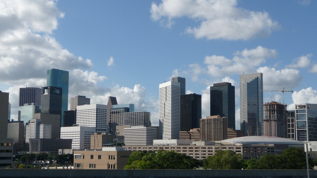
Photo by Jeff Turner via Flickr
Expect slightly drier weather and more summer heat over Houston this week.
[
          {
            "name": "Related Stories / Support Us Combo",
            "component": "11591218",
            "insertPoint": "4",
            "requiredCountToDisplay": "4"
          },{
            "name": "Air - Billboard - Inline Content",
            "component": "11591214",
            "insertPoint": "2/3",
            "requiredCountToDisplay": "7"
          },{
            "name": "R1 - Beta - Mobile Only",
            "component": "12287027",
            "insertPoint": "8",
            "requiredCountToDisplay": "8"
          },{
            "name": "Air - MediumRectangle - Inline Content - Mobile Display Size 2",
            "component": "11591215",
            "insertPoint": "12",
            "requiredCountToDisplay": "12"
          },{
            "name": "Air - MediumRectangle - Inline Content - Mobile Display Size 2",
            "component": "11591215",
            "insertPoint": "4th",
            "startingPoint": "16",
            "requiredCountToDisplay": "12"
          }

            ,{
              "name": "RevContent - In Article",
              "component": "12527128",
              "insertPoint": "3/5",
              "requiredCountToDisplay": "5"
            }

        ]
Use of this website constitutes acceptance of our
terms of use,
our cookies policy, and our
privacy policy
The Houston Press may earn a portion of sales from products & services purchased through links on our site from our
affiliate partners.
©2024
Houston Press, LP. All rights reserved.
