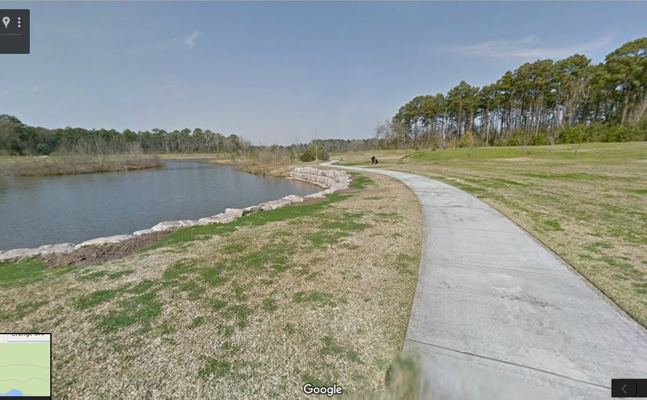
At the heart of the East Aldine district is Keith-Wiess Park, with almost 500 acres (499.46, to be exact) of pine forests along Aldine-Westfield Road. It's operated by the Houston Parks and Recreation Department and you can explore it virtually yourself through Street View in Google Maps, though nothing will replace the real life sights, sounds and smells of nature.
This large natural resource is just one of the reasons that this neighborhood — loosely bordered by Hardy, Beltway 8 to the north, Hirsch and Little York — deserves a closer look. The western edge of the district is predominantly commercial, while residential neighborhoods flank the park and Highway 59 to the east.
According to the East Aldine District website, the region has one foot in the past and the other in the present. Its origins date back to the 1800s when northbound trains used the region for engine switching stations. Even today, almost half of the residents draw their water from private water wells or septic systems.
The ravages of time will have their way and, by 1998, this region had lost its luster, with high crime, limited county services, inadequate utilities and no sidewalks, making it dangerous for children walking to school. Community members and business leaders took notice and embarked on a 15 year plan to turn those frowns back into smiles again.
Working with elected officials, public and private investment partners and volunteers, the community has invested a whopping $170 million dollars to address water and sewer infrastructure, public safety and security, community development, mobility, environmental and urban design, public health and economic development. Read more about these initiatives in the district's 15 Year Report, published in 2016.
The jewel in the crown will be the $100 million East Aldine Town Center that already serves as home for the BakerRipley Community Center and — once completed — will feature a Lone Star College campus, a Harris County 9-1-1 call center, and an amphitheater that rivals those at Discovery Green and Hermann Park. H-E-B is planning to anchor the retail component with a Joe V’s Smart Shop.
It won't be long before home buyers begin to take notice of these community improvements, especially with the area's proximity to Beltway 8 and George Bush Intercontinental Airport. East Aldine should be attractive to commuters who are fed up with traffic congestion or who work downtown.

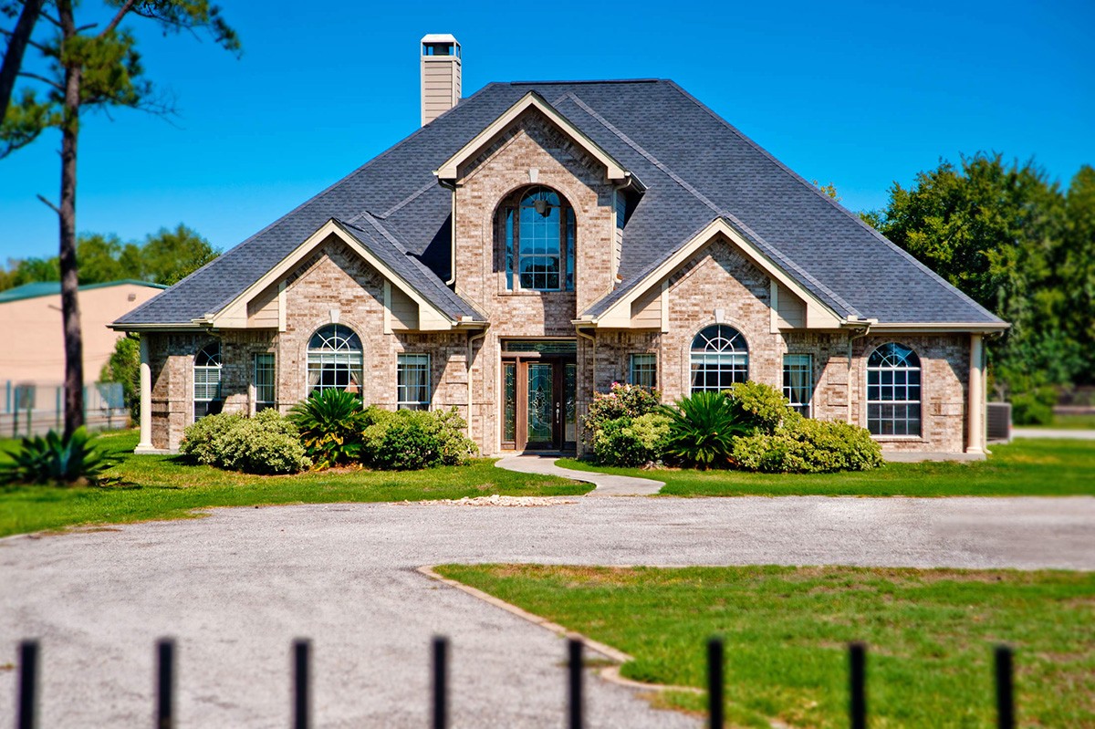
Here's a quick glimpse of current home prices in the area.
- 2230 Gault, built in 1968, five bedrooms, 3,926 square feet, listed for $799,000
- 12901 Chrisman, built in 1977, three bedrooms, 1,794 square feet, listed for $575,000
- 14107 Cherilyn Lane, built in 1865, five bedrooms, 2,612 square feet, listed for $265,000
- 2517 Woodgate, built in 2002, three bedrooms, 1,518 square feet, listed for $215,000
- 2801 Rosebury, built in 1976, three bedrooms, 1,216 square feet, listed for $165,000
- 1207 Verhalen, built in 1973, four bedrooms, 1,495 square feet, listed for $165,000
