Update: 10:33 a.m.
The National Weather Service Prediction Center has reduced its prediction of severe weather, ending the enhanced risk of dangerous weather conditions that were expected in the Livingston area.
Parts of the Greater Houston area saw light rainfall blow through during the early morning hours. This is expected to pick up during the mid-morning and early afternoon hours. According to Space City Weather, areas south and east of Highway 59/Interstate 69 are at a higher risk of seeing possible rainfall totals above three inches. Meteorologists instituted a Stage 1 flood alert due to the chance of nuisance street flooding across the region.
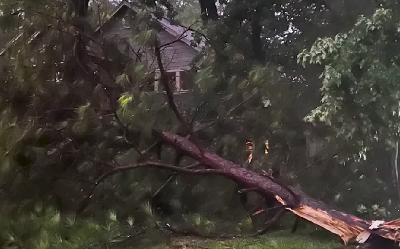
Severe thunderstorms are still expected and will be brought into the area by an unstable air mass. These could trickle into the afternoon hours with damaging winds and the slight potential of some hail and a few tornadoes.
Thursday’s highs will remain in the 70s, and storm conditions are expected to drop off later in the evening, with most of the rain shifting eastward during the later afternoon hours. Thursday night’s weather will likely be calm, with lows dropping to the mid-60s.
Original Story
Severe weather is on its way to the Greater Houston area as strong thunderstorms and the potential for possible tornado development are expected Thursday morning into the early afternoon hours.
According to the National Weather Service serving Houston and Galveston, parts of Houston, Columbus, Galveston, Freeport, Palacios, College Station and Crockett are all at a slight risk of severe weather, and the Livingston area is at an enhanced risk.
Thursday will mark the first risk of significant extreme weather in the area since the string of storms this January brought tornadoes to Harris County. During this winter storm, the EF-3 tornado blew through Baytown, Deer Park and Pasadena, causing nearly 20 miles of damage to homes, businesses and infrastructure.
Rain showers are expected to start during the night and will likely last throughout the day, with the highest risk of severe weather in the late morning and early afternoon.
Vertical wind shear and conditions expected on Thursday could increase the chance of tornado formation. However, this largely depends on whether there will be a break in cloud coverage.
The weather that residents should be prepared for is heavy rain showers, damaging winds, and the possibility of some large hail. Some areas could see flash flooding as rainfall will likely be between an inch to two inches. This rainfall could exceed two inches in areas nearby and east of the I-45.
The weather was slightly warmer than earlier this week Wednesday night, as lows only dropped to 60 degrees. On Thursday, the expected high is 71 degrees, and the temperature is predicted to drop to 64 degrees at night.
This story will be updated as needed.
Support Us
Houston's independent source of
local news and culture
account
- Welcome,
Insider - Login
- My Account
- My Newsletters
- Contribute
- Contact Us
Severe Storms Are Expected To Blow Through Houston Area [UPDATED]
Showers are expected to start early on Thursday and quickly pick up in the later morning and into the early afternoon hours.
Screenshot
KEEP THE HOUSTON PRESS FREE...
Since we started the Houston Press, it has been defined as the free, independent voice of Houston, and we'd like to keep it that way. With local media under siege, it's more important than ever for us to rally support behind funding our local journalism. You can help by participating in our "I Support" program, allowing us to keep offering readers access to our incisive coverage of local news, food and culture with no paywalls.


Use of this website constitutes acceptance of our
terms of use,
our cookies policy, and our
privacy policy
The Houston Press may earn a portion of sales from products & services purchased through links on our site from our
affiliate partners.
©2024
Houston Press, LP. All rights reserved.
