Houston ISD will be closed on Tuesday. All schools and offices will reopen at the usual time on Wednesday.
The safety of our students and staff is our top priority, and the decision to close schools is one that the District does not take lightly. There are a number of considerations to weigh. These include the fact that many HISD parents and caregivers will still have to go to work tomorrow and some children will not have a hot meal given that they will not be in school. We have been monitoring the local weather conditions and roads. Taking all factors into account, we believe that closing schools tomorrow, January 16, is the best course of action for most families under the circumstances.
Update 3:14 p.m.:
HISD sent out a statement that it will decide around 5 p.m. today whether schools and offices will be open Tuesday. That information will be shared through houstonisd.org, its automated phone system, social media accounts and local media.
Update 2:30 p.m.:
Amid the icy, inclement conditions, United Airlines departures to Bush are grounded until 3:30 p.m., according to the National Airspace System Status. FlightAware reported that delays at the airport are increasing to over an hour on average.
There are currently 338 delays and 319 cancellations at Bush and 96 delays and 46 cancellations at Hobby. A majority of these are Southwest Airlines flights, Hobby’s main airline. The wintery mix of sleet and freezing rain continued to disrupt drivers into the afternoon. Most areas on the outskirts of Harris and nearby counties reported iced-over roads.
Monday’s precipitation is expected to move out of the area in the evening. It will not likely return to the area on Tuesday or Wednesday. However, the streets could remain icy because subfreezing temperatures are expected on both days.
Many nearby school districts observing Monday’s national Holiday, Martin Luther King, Jr. Day announced on Monday afternoon that they would be closed Tuesday to mitigate weather-related incidents.
These districts include Aldine ISD, Spring ISD, Tomball ISD, Cypress-Fairbanks ISD, Katy ISD, Cleveland ISD, Montgomery ISD, Conroe ISD, Fort Bend ISD, Pearland ISD, Humble ISD and Waller ISD.
As of Monday afternoon, Houston ISD had not indicated whether or not schools would be opening on Tuesday morning.
Due to the cold weather conditions continuing into Tuesday and Wednesday, The City of Houston's Office of Emergency management announced that the city’s warming centers will open at 3 p.m. on Monday.
The city-coordinated locations were initially scheduled to open at 8 p.m. These include Acres Homes Multi-Service Center, Denver Harbor Multi-Service Center, Downtown Recovery Center, Fonde Community Center, Metropolitan Multi-Service Center, Sunnyside Health and Multi-Service Center and Magnolia Multi-Service Center.
The partnering organizations' opening centers at Lakewood Church, Alief Family YMCA, and R.O.C.K Church will also open at 3 p.m. on Monday.
Original Story:
For Houston residents brave enough to venture outside Monday, a scarf tucked into a heavy coat might be the best idea, as temperatures are likely to stay in or below the 30s – but feel chillier as the day goes on and winds pick up into the evening.
Monday brings the first taste of the Arctic blast meteorologists recommended preparing for over the weekend. According to Space City Weather, the coldest weather the front may bring locally is expected to come over the next two nights, unlike much of the rest of Texas, which is already experiencing it.
Although lower temperatures are likely on their way, some showers could cause a light layer of ice to build up on bridges and overpasses in and around the city overnight into Tuesday morning.
Late Monday morning, there were already residents taking to their X, formerly Twitter, accounts to share videos of freezing rain and sleet blanketing their backyards. Those living in areas north and west of Houston had to navigate slushy conditions earlier during their commutes as this precipitation was already in the region.
According to FlightAware, a live flight status tracker operated by the private company Collins Aerospace, those traveling by air were delayed by at least a half hour at George Bush Intercontinental Airport.@mattlanza @SpaceCityWX
— Javi Delafuente (@UHpkp110) January 15, 2024
Same location, Katy, north of I10, 99 & 529. My kids are excited cause they say they’re going to make a snowman lol pic.twitter.com/Xv7XU5w0bd
A ground stop also at Bush caused all United Airlines inbound flights to be held at their point of origin and were not allowed to take off until just after noon.
Flights came into William P. Hobby Airport, but later than expected as the airport reported 63 delays and 38 cancellations at 11:30 a.m.
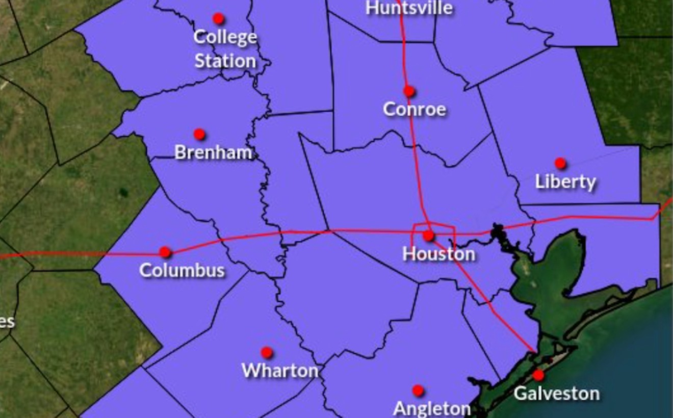
Ahead of Monday's wintery conditions, the National Weather Service that serves Houston and Galveston posted a Winter Weather advisory for much of Southeast Texas including Harris and Fort Bend counties.
The advisory is in effect into the evening despite the chance for freezing rain, expected to decrease Monday afternoon with temperatures predicted to rise slightly to the mid 30s.
The Electric Reliability Council of Texas initially issued a conservation appeal for Monday morning, asking residents and businesses alike to reduce their energy use due to the higher-than-normal demand from the cold temperatures.
This came days after ERCOT put a Weather Watch into effect for Monday through Wednesday, warning those that the Texas energy grid’s conditions could be unstable as peak demand could exceed 81,000 megawatts.
As of Monday morning, the grid was running on operating reserves and had not quite climbed to the projected demand peak that is expected to occur on Tuesday morning.
ERCOT took to X, to call off the appeal but alerted the public that the Weather Watch was still active. In a separate post, the grid operators issued a second conservation appeal for Tuesday morning between 6 a.m. and 9 a.m.
TXANS Update—January 15, 2024: The Conservation Appeal ended at 10 a.m. Thank you for your conservation efforts. ERCOT is expecting similar conditions on Tuesday, Jan. 16, and will continue to closely monitor conditions and keep the public informed. The Weather Watch remains in…
— ERCOT (@ERCOT_ISO) January 15, 2024
ERCOT added that any power outage residents may be experiencing was unrelated to the grid and localized. CenterPoint Energy’s Outage tracker was functioning under normal business operations on Monday morning, with 2,624 customers affected by 152 active outages.TXANS Update—Jan. 15, 2024: ERCOT has issued a Conservation Appeal for Tuesday, Jan. 16, from 6 – 9 a.m. CT. With the winter storm encompassing the entire state and temperatures forecasted to be colder this evening and into tomorrow morning, ERCOT is asking Texans to conserve… pic.twitter.com/2JBXFhnvkp
— ERCOT (@ERCOT_ISO) January 15, 2024
Monday night winds gusting between 15 to 20 mph and already frigid wind chills are expected to drop air temperatures into the mid-20s in Houston. Residents will likely wake up on Tuesday to temperatures in the lower to mid-20s with wind chills making it feel like the low is in the teens or single digits.
Tuesday’s highs could climb into the low to mid-30s by the afternoon, but the wind could remain, making it feel colder than it actually is. Into the evening, lows could drop between 20 to 25 degrees.
Monday night into Tuesday morning and Tuesday evening – the coldest night expected – into Wednesday morning are the two likeliest periods a hard freeze could occur.
The National Weather Service issued hard freeze warnings for the Houston area in effect through Wednesday morning, as subfreezing temperatures could kick start the day before the weather starts to warm up into Wednesday night.
This story will be updated throughout the day as needed.